Syracuse, N.Y. -- Gov. Kathy Hochul has declared a state of emergency this weekend in Western New York and Tug Hill for “potentially dangerous and life-threatening blizzard-like conditions” at the eastern shores of Lake Erie and Lake Ontario.
Two counties in Central New York are also included in the state of emergency area.
The National Weather Service has also issued winter storm warnings, the highest state winter weather alert, for those regions.
One to 3 feet of snow could fall in the most intense lake effect snow bands, and winds could reach 65 mph as northwest winds whip off the lakes Saturday through Monday, the weather service said. Widespread power outages are also possible just as temperatures drop to their lowest of the season so far.
The state of emergency applies to Allegany, Cattaraugus, Cayuga, Chautauqua, Erie, Genesee, Jefferson, Lewis, Livingston, Monroe, Niagara, Ontario, Orleans, Oswego and Wyoming counties.
“Travel in these areas will be difficult to impossible at times, and New Yorkers are urged to pay close attention to the weather and make plans accordingly to stay safe, especially those planning to attend Sunday’s Buffalo Bills’ game,” said a statement from Hochul’s office. The Bills are playing host to the Pittsburgh Steelers Sunday in Highmark Stadium, which could be in the path of intense lake effect snow bands. It’s the first round of the NFL playoffs.
The state Department of Transportation will ban empty and tandem tractor-trailers from parts of the Thruway and other roads in Western New York. starting at 9 a.m. Saturday. (See complete list below.)
Outside of Tug Hill and Western New York, the impacts of the storm will be far less. Only an inch or two of snow is forecast for most of the state, and winds will peak at about 50 mph in Central New York. Temperatures will fall into the 20s by late Saturday, and wind gusts could make it feel like 5 to 10 degrees.
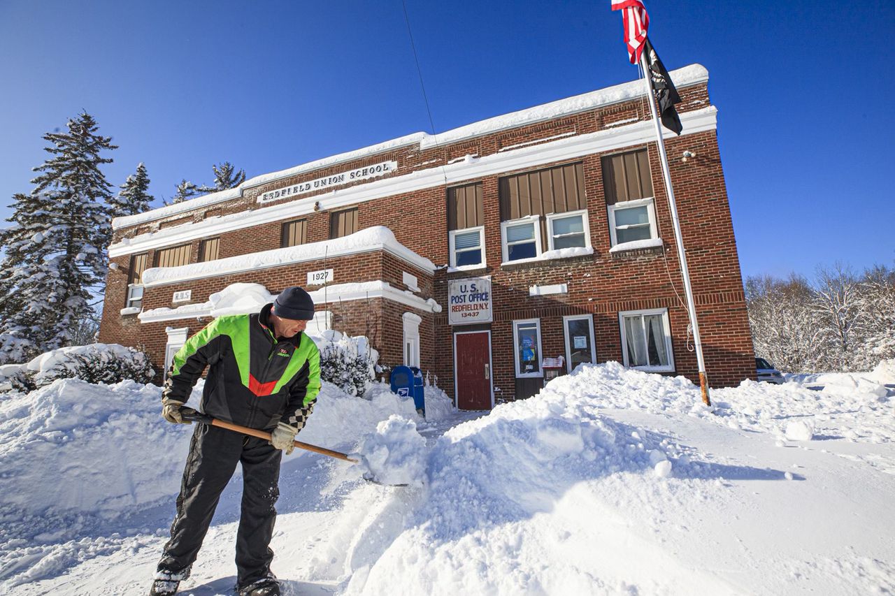
The storm will kick off a weeklong cold spell where temperatures don’t get above freezing across Upstate New York.
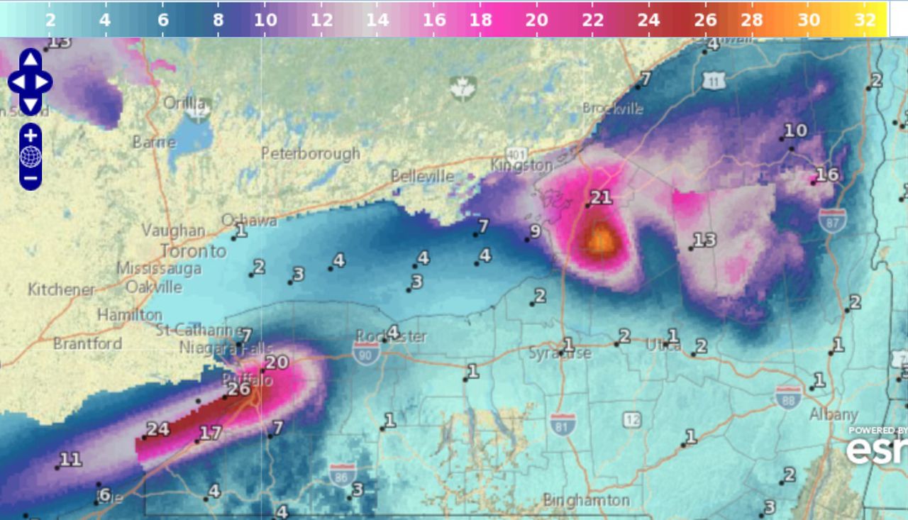
This map shows the expected snowfall across Upstate New York from Saturday morning to Monday evening. Southwest winds will drive 1 to 3 feet of lake effect snow into Western New York and Tug Hill.National Weather Service
Empty and tandem tractor-trailers will be banned starting at 9 a.m. Saturday from the following stretches of road:
- New York State Thruway from Exit 46 (Rochester) to the Pennsylvania border:
- I-190, north and south of the North Grand Island Bridge
- Buffalo Skyway
- U.S. 219
- NY 400
- I-290
- I-990
- Kensington Expressway (NY 33)
- I-86 in Chautauqua and Cattaraugus counties